| Area |
Petaluma River |
| Topic |
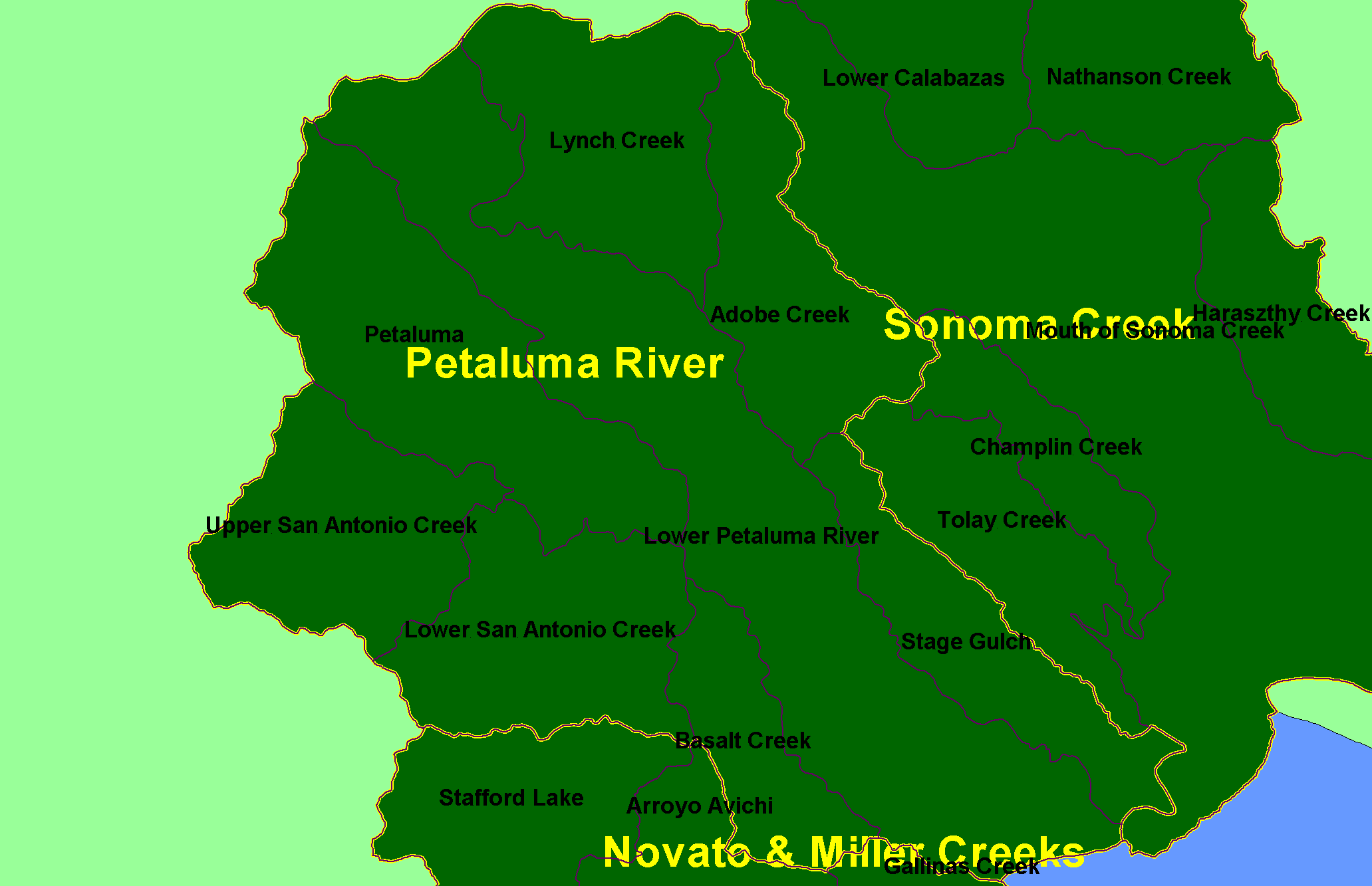
Map: 1A. Calwater Planning Watersheds, Petaluma River Sub-basin |
|
This is a map of the Calwater Planning Watersheds (black labels and purple outlines) in the Petaluma River sub-basin. Bold yellow outlines are KRIS sub-basins.
These basins were derived by the California Department of Forestry.
|
|
|
 |
 |
To view metadata about a map layer, click on a link in the table below.
| Name of Layer in Map Legend | Metadata File Name |
|---|
| Calwater PWS (big labels) | calw22.shp.txt |
| Subbasins (w/ labels) | subbasins.shp.txt |
| Frame Project Outline | Unavailable |
If you obtain KRIS on a CD and install it on your hard drive as a desktop program, you will have access to increased map capabilities such as zooming in/out, turning layers on/off, adding layers and changing legends.