| Area |
Novato and Miller Creeks |
| Topic |
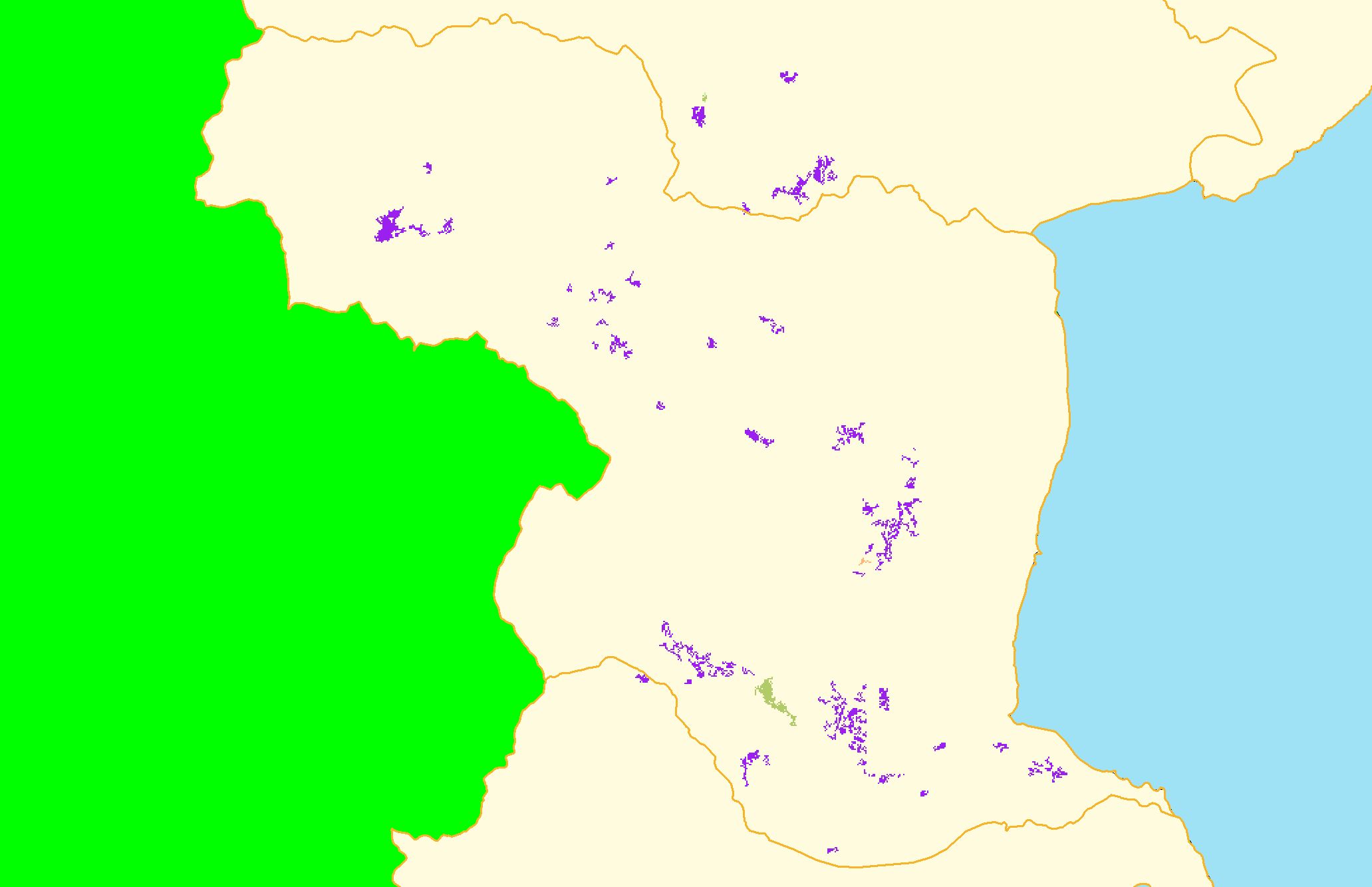
Map: 1F. Vegetation Change, Novato and Miller Creeks 1994-1998 |
|
This is a map of vegetation change between 1994 and 1998 in the Novato and Miller Creeks sub-basin. The purple patches on map indicate non-vegetation changes,
some of which may be urbanization. Vegetation change data were derived from Landsat satellite images by the U.S. Forest Service Spatial Analysis Lab in
Sacramento, CA.
|
|
|
 |
 |
To view metadata about a map layer, click on a link in the table below.
| Name of Layer in Map Legend | Metadata File Name |
|---|
| Subbasins (no labels) | subbasins.shp.txt |
| Frame Project Outline | Unavailable |
| Change in Veget. (1994-98)(TIFF) | vegchg.tif.txt |
| Project Background | Unavailable |
If you obtain KRIS on a CD and install it on your hard drive as a desktop program, you will have access to increased map capabilities such as zooming in/out, turning layers on/off, adding layers and changing legends.