| Area |
Arroyo Corte Madera |
| Topic |
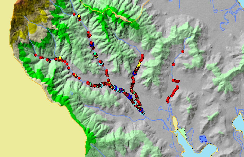
Habitat: Maximum Pool Depths by Length Arroyo Corte Madera 2003 |
To view a more detailed version of this map click
here
|
This map shows pool depths measured by Kier Associates in a habitat survey of Arroyo Corte Madera Creek in spring 2003. Scale = 1:33,802 .
|
|
|
 |
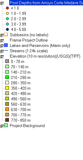 |
To view metadata about a map layer, click on a link in the table below.
If you obtain KRIS on a CD and install it on your hard drive as a desktop program, you will have access to increased map capabilities such as zooming in/out, turning layers on/off, adding layers and changing legends.